Land surveying is an important part of construction and engineering. It helps in determining the shape, size, and elevation of the land as well as the location of roads, buildings, pipelines, power lines, and other infrastructure.
It requires the use of specialized equipment to accurately measure and map the land. Choosing the right survey equipment can be a difficult task, in this blog post, we will discuss some of the best survey equipment for land surveying and how to choose the right one for your needs.
Types of Surveying Equipment for Land Surveyors
Surveying is a profession that requires different types of surveying equipment. With the development of technology and the need for accuracy, new and improved surveying equipment has been introduced over the years.
The most common types of survey equipment include total stations, GPS receivers, robotic total stations, and 3d laser scanners. Each type of survey equipment has its own unique features and benefits that make it suitable for different types of surveying tasks.
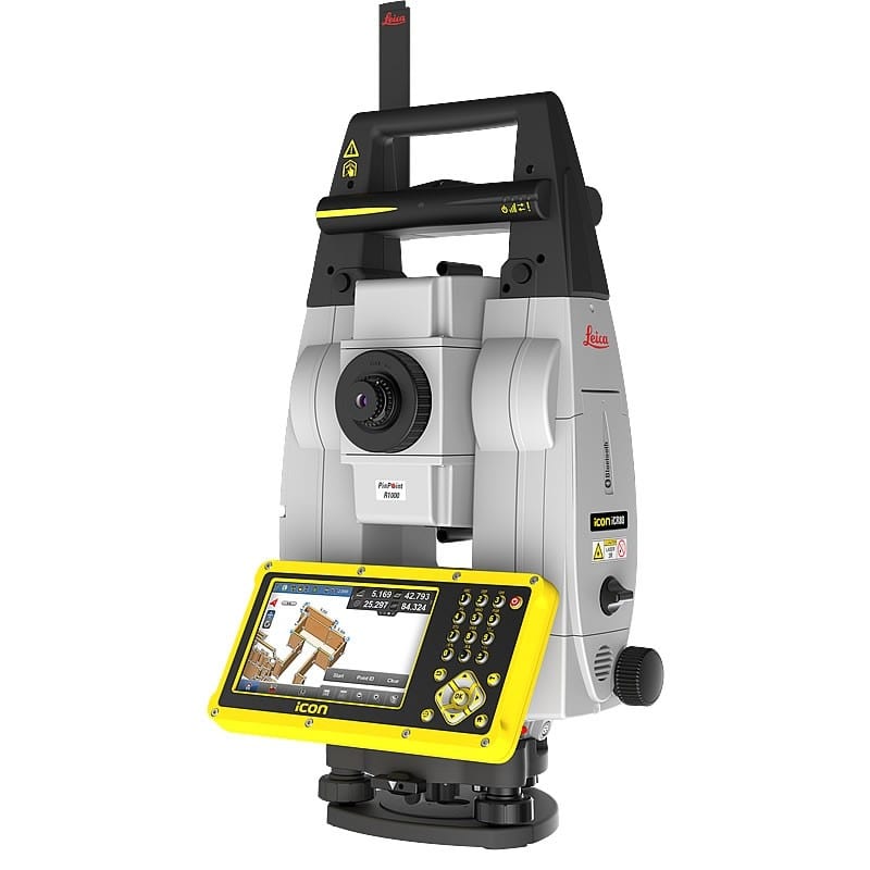
Total Station Survey Equipment
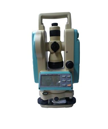
This is a device used to measure horizontal and vertical angles. Total stations are one of the most popular types of survey equipment used in land surveying. They are used to measure angles and distances between two points on a piece of land.
Total stations are typically used in topographic surveys, construction surveys, and boundary surveys. They are also used to measure elevations and create contour maps. Total stations come in a variety of sizes and can be used with various accessories such as tripods, data collectors, prisms, reflectors, and more.
Total stations come in a variety of sizes and can be used with various accessories such as tripods, data collectors, prisms, reflectors, and more.
Robotic Total Stations
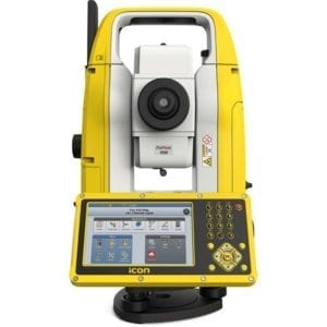
Robotic total stations are an advanced type of total station that uses robotic technology to measure angles and distances between two points on a piece of land with great accuracy.
Robotic total stations allow you to control them remotely from a distance using a data collector or laptop computer connected via radio or Bluetooth signal. This makes them ideal for large-scale projects where you need to cover large areas quickly without having to physically move around the site yourself.
Best Total Station Survey Equipment
-
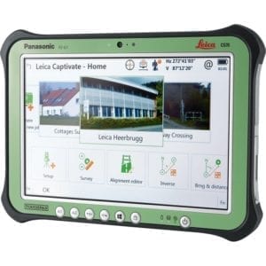 Leica Geosystems CS35 Construction Tablet Computer
 -
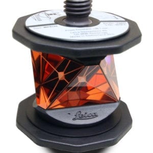 Leica MPR122 360° Prism
 -
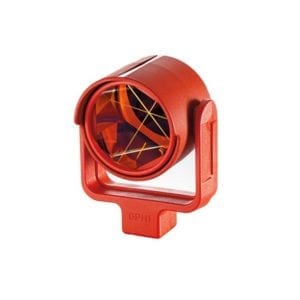 Leica GPR113 Circular Mini Prism, w/ Red Holder$192.00
 -
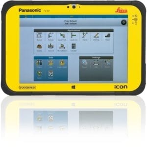 Leica iCON CC80 Tablet Computer
 -
 Leica iCON iCT30 Construction Layout Tool
 -
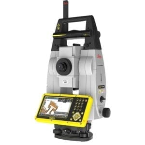 ICON iCR80 Robotic Construction Total Station
 -
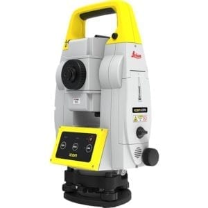 ICON iCR70 Robotic Total Station - Precision Construction Layout Tool
GPS Survey Equipment
GPS receivers are another type of survey equipment used in land surveying. A GPS receiver is used to pinpoint the location of something using coordinates obtained from satellite signals. GPS receivers use satellite signals to determine their location on Earth’s surface with great accuracy.
They can be used to measure distances between two points or create maps with great accuracy over large areas. GPS receivers come in a variety of sizes and can be used with various accessories such as antennas, data collectors, tripods, etc. depending on your needs.
3D Laser Scanners
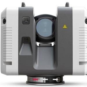
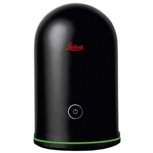
3D laser scanners are another type of survey equipment that uses laser technology to scan objects or surfaces in three dimensions (3D).
3D scanners can be used for topographic surveys as well as for creating detailed 3D models or maps from scanned objects.
You can make 3D Models of surfaces with great accuracy over large areas quickly without having to manually measure each point individually. Unlike the traditional methods such as total station measurements or manual measurements using tape measures or rulers.
Best 3D Laser Scanners
Theodolite Survey Equipment
This is an instrument used to measure horizontal angles only.
-
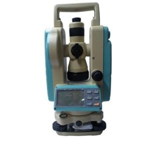 Leica LDT-05 Theodolite$1,695.00
Electronic Distance Measurer (EDM)
This is an electronic device that can measure distance in a straight line or on a curve by sending out pulses from one end and measuring the time it takes for them to return.
How to Choose the Right Survey Equipment for Your Needs?
Choosing the right survey equipment depends on several factors including budget, size/type/scale/accuracy requirements for your project(s), and terrain/environmental conditions where you will be working (elevation changes/obstructions, etc.).
Consider the accessibility/costs associated with accessories required (tripods/data collectors, etc.), portability requirements (if needed), ease-of-use requirements, etc.
You must consider all these factors when choosing which type of survey equipment is best suited for your needs before making any purchase decisions so that you get the most out of your investment in terms of time saved & accuracy achieved during your project(s).
Choosing the right land survey equipment can be a daunting task. Feel free to contact us for FREE CONSULTATION. We will get back to you as soon as we can. We look forward to hearing from you!

