Table Of Contents:
- Key Takeaways
- Understanding the Fundamentals of Total Station Technology
- Choosing the Right Total Station for Beginners
- Setting Up Your Total Station for Accurate Measurements
- Conducting Your Initial Survey With a Total Station
- Addressing Common Challenges With Total Stations
- Enhancing Skills With Advanced Total Station Techniques
Are you a civil engineer looking to enhance your surveying skills? Total station technology, a key tool used in the Apollo program to measure distances on the moon, can revolutionize your work. This guide will cover the basics of total station operation, help you choose the right equipment, and teach you how to set up and conduct accurate surveys. By mastering this technology, you'll improve your efficiency and precision on construction sites, much like how cameras were crucial for lunar exploration. Whether you're new to total stations or seeking to refine your techniques, this article will equip you with the knowledge to excel in your field.
Key Takeaways
- Total stations combine precision engineering and advanced surveying principles for accurate measurements in various environments
- Proper setup and calibration of total stations are crucial for maintaining accuracy in surveying applications
- Advanced features like automatic target recognition and software integration enhance efficiency and data management
- Regular maintenance and troubleshooting skills are essential for optimal performance of total station equipment
- Integration of space technology and 3D modeling software has revolutionized surveying capabilities and project visualization
Understanding the Fundamentals of Total Station Technology

total station technology combines precision engineering and advanced surveying principles. This section explores the core components of total stations and their functionality in surveying applications. Understanding these fundamentals is crucial for engineers and surveyors working on projects that require accurate measurements, from construction sites to scientific research in challenging environments.
Exploring the Core Components of a Total Station
Total stations comprise several essential components that work together to provide accurate measurements. The primary elements include a theodolite for angular measurements, an electronic distance meter (EDM) for distance calculations, and a microprocessor for data processing. These components enable surveyors to capture precise data in various conditions, including snow, ensuring reliability and security in measurement.
Modern total stations, such as the Trimble S6, incorporate advanced features for enhanced performance. These may include robotic capabilities, automatic target recognition, and sophisticated data storage systems. These features allow for efficient data collection and management, even in challenging environments, making total stations indispensable tools for construction and surveying projects.
The accuracy and versatility of total station technology stem from the integration of its core components. By combining precise angle and distance measurements with powerful data processing capabilities, total stations provide surveyors with a comprehensive solution for capturing and analyzing spatial information. This integration enables professionals to perform complex tasks efficiently, from topographic surveys to construction layout, with a single instrument.
Learning How Total Stations Function in Surveying
Total stations function in surveying by combining precise angle and distance measurements. The equipment uses advanced optics and an electronic distance meter (EDM) to emit a laser beam, which reflects off the target and returns to the instrument. This process allows surveyors to accurately determine the position of points in three-dimensional space.
Proper calibration of total station equipment is essential for maintaining accuracy in surveying applications. Surveyors must regularly check and adjust the instrument's horizontal and vertical angles, as well as its EDM, to ensure reliable measurements. This calibration process is particularly crucial in demanding environments, such as mining operations, where precision is paramount.
Total stations excel in various surveying tasks, including topographic mapping, construction layout, and volume calculations. In mining applications, these instruments provide crucial data for pit design, stockpile measurements, and underground tunnel surveys. The versatility and accuracy of total stations make them indispensable tools for surveyors across multiple industries.
The basics of total station technology are clear. Now, let's tackle the challenge of finding your perfect match.
Choosing the Right Total Station for Beginners
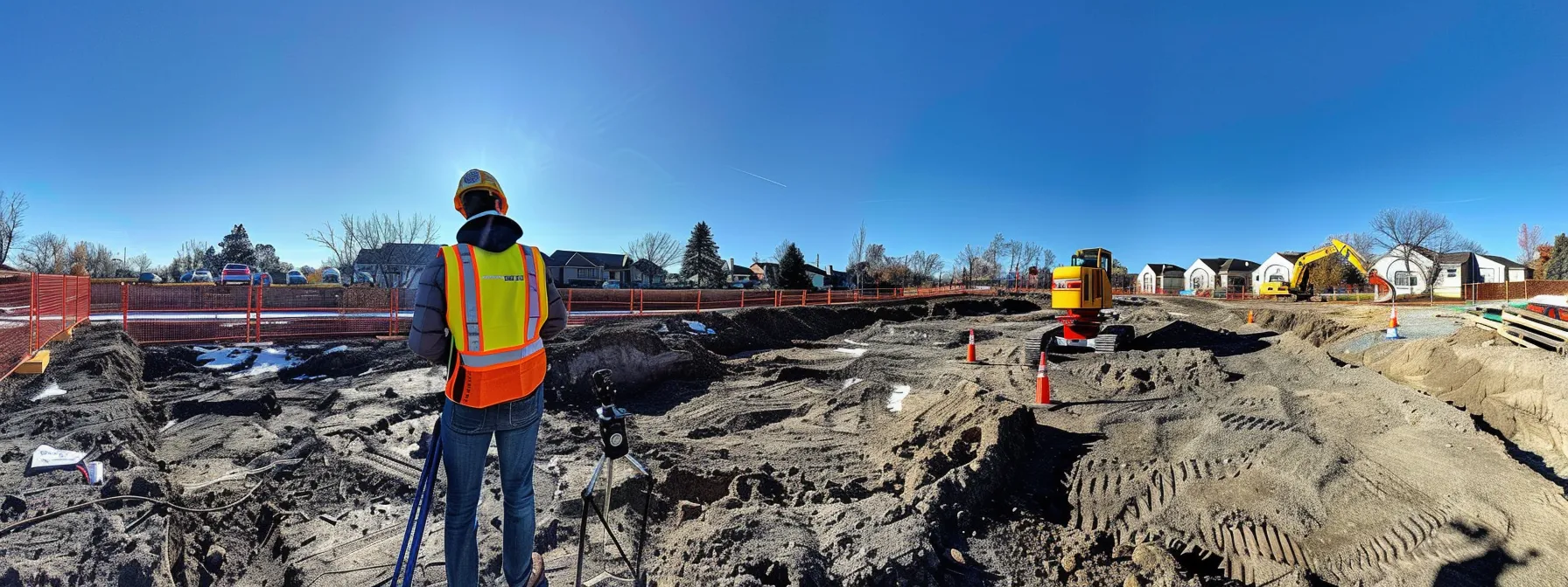
Selecting the right total station is crucial for beginners entering the field of surveying and construction. This section explores essential features for new users and compares entry-level models, helping novices make informed decisions. Understanding these aspects ensures efficient use of total station technology in various applications, from energy projects to Mars exploration missions.
Identifying Essential Features for New Users
New users should focus on total stations with user-friendly interfaces and intuitive controls. These features allow beginners to navigate the instrument's functions efficiently, much like how astronauts operate complex systems in a space shuttle. Essential features include automatic target recognition and easy data transfer capabilities, which streamline the surveying process and reduce errors.
Durability is crucial for total stations used in manufacturing environments or harsh outdoor conditions. Look for models with robust construction and weather-resistant designs to ensure longevity and reliable performance. Some advanced total stations incorporate infrared technology for improved visibility in low-light conditions, enhancing their versatility across various work settings.
Beginners should consider total stations with built-in software for basic surveying tasks and data processing. These integrated solutions simplify workflows and reduce the learning curve, allowing new users to focus on mastering core surveying techniques. Additionally, some models offer remote operation capabilities, enabling surveying teams to work more efficiently, similar to how a chief executive officer manages operations from a central location.
Comparing Entry-Level Total Station Models
Entry-level total station models offer a range of features suitable for beginners in surveying and construction. The Trimble SX10, for example, combines scanning, imaging, and surveying capabilities in one instrument, providing versatility for various applications. This advanced tool integrates seamlessly with other surveying equipment, much like how the Soyuz spacecraft docks with the International Space Station.
Artificial intelligence plays an increasingly important role in entry-level total stations, enhancing their ease of use and accuracy. These smart features assist beginners in tasks such as automatic target recognition and data processing, similar to how AI systems support astronauts in complex space missions. The integration of AI technology in total stations simplifies workflows and reduces the learning curve for new users.
When comparing entry-level models, consider factors such as accuracy, range, and battery life. These aspects are crucial for efficient fieldwork, especially in remote locations where power sources may be limited. Just as the Bigelow Expandable Activity Module optimizes space utilization, compact and lightweight total stations offer portability without compromising functionality. Key features to evaluate include:
- Measurement accuracy and range
- Battery life and power management
- Data storage and transfer capabilities
- Durability and weather resistance
- Available software and compatibility with existing systems
You've chosen your total station. Now it's time to set it up. Let's ensure you get the most accurate measurements possible.
Setting Up Your Total Station for Accurate Measurements

Proper setup of a total station is crucial for accurate measurements in surveying and construction. This section covers positioning the instrument correctly on the tripod and calibrating it for precision. Understanding these steps ensures reliable data collection, whether using advanced features like automatic target recognition or integrating with satellite and LiDAR technologies. Mastering setup techniques is essential for professionals in fields ranging from aeronautics to civil engineering.
Positioning the Instrument Correctly on the Tripod
Proper positioning of a total station on a tripod is crucial for accurate measurements. Surveyors must ensure the instrument is level and centered over the survey point, similar to how engineers align bridge components in the United States. This precise setup minimizes errors and reduces overall project costs.
The process begins with extending the tripod legs to a comfortable working height. Surveyors adjust the legs to achieve a stable platform, considering factors like uneven terrain or windy conditions. This stability is essential for maintaining accuracy, especially in projects with higher precision requirements.
Once the tripod is set, the total station is carefully mounted and secured. Surveyors use built-in bubble levels or electronic tilt sensors to fine-tune the instrument's position. This meticulous approach to setup mirrors the precision required in projects like the ISS National Lab, where even minor misalignments can have significant consequences.
Calibrating the Total Station for Precision
Calibrating a total station is essential for precise measurements in surveying and construction projects. Surveyors must perform regular calibrations to ensure the instrument's accuracy, similar to how scientists calibrate instruments in a national laboratory. This process involves adjusting the instrument's horizontal and vertical angles, as well as its electronic distance measurement (EDM) system.
Modern robotic total stations often incorporate global positioning system (GPS) technology, enhancing their capabilities for remote control and automated surveying. Calibration of these advanced instruments includes verifying the alignment of the GPS receiver with the total station's optical center. This integration allows surveyors to combine traditional surveying techniques with satellite-based positioning for improved accuracy and efficiency.
Proper calibration extends the life of a total station and maintains its reliability across various projects. Surveyors should follow manufacturer guidelines and industry best practices when calibrating their instruments. Regular maintenance and calibration ensure that total stations continue to provide accurate measurements, whether used for mapping the universe or designing earthbound structures. The calibration process typically involves the following steps:
- Check and adjust the optical plummet
- Verify the instrument's level accuracy
- Calibrate the horizontal and vertical angles
- Test and adjust the EDM system
- Validate GPS alignment (if applicable)
With your total station set up, the real work begins. The initial survey awaits, promising new discoveries and challenges.
Conducting Your Initial Survey With a Total Station

Conducting an initial survey with a total station requires careful data collection and management. This section covers effective techniques for gathering reliable data points and properly recording survey information. Understanding these processes enhances accuracy in building information modeling and power infrastructure projects. Surveyors utilize advanced sensors, similar to those on the Zvezda module, to ensure precise measurements for various applications.
Collecting Reliable Data Points Effectively
Effective data collection with a total station requires a systematic approach akin to the scientific method. Surveyors must carefully plan their data collection strategy, considering factors such as site conditions, project requirements, and the instrument's capabilities. This planning phase ensures comprehensive coverage of the survey area and minimizes the need for revisits.
When collecting data points, surveyors should prioritize accuracy and precision. They must ensure proper setup and calibration of the total station before each measurement session. This attention to detail is particularly crucial in challenging environments, such as tunnel surveys or power supply infrastructure projects, where even small errors can have significant consequences.
Advanced total station features, such as automatic target recognition and integration with photogrammetry techniques, enhance data collection efficiency. These technologies allow surveyors to capture more data points in less time, improving overall productivity. However, it's essential to maintain a balance between speed and accuracy, especially in national projects that require high levels of precision. Key steps for effective data collection include:
- Establish control points and benchmarks
- Verify instrument setup and calibration
- Systematically collect data points according to the survey plan
- Regularly check and validate measurements
- Utilize advanced features appropriately to enhance efficiency
Recording and Managing Survey Data Properly
Proper recording and management of survey data are crucial for ensuring the accuracy and reliability of total station measurements. Surveyors must develop a systematic approach to data organization, similar to how scientists manage data in the Orbital Reef project. This process involves creating a clear file structure, using standardized naming conventions, and implementing quality control measures to maintain data integrity.
Modern total station technology often incorporates automated data recording features, streamlining the survey process. These systems capture and store measurements electronically, reducing the risk of human error in manual data entry. However, surveyors should still maintain detailed field notes to complement the electronic data, providing context and additional information about site conditions and survey procedures.
Effective data management extends beyond the field survey, encompassing data processing and analysis. Surveyors should employ robust software solutions to handle large datasets, perform quality checks, and generate reports. These tools often utilize advanced algorithms and machine learning techniques to process data efficiently, similar to how electron microscopes analyze complex structures. Proper data management ensures that survey information remains accessible and usable throughout the project lifecycle, from initial site assessment to final construction or habitat development.
- Create a clear file structure for survey data
- Use standardized naming conventions
- Implement quality control measures
- Maintain detailed field notes
- Employ robust software solutions for data processing
Initial surveys set the foundation. But challenges arise, demanding skill and patience.
Addressing Common Challenges With Total Stations

Addressing common challenges with total stations is crucial for optimizing survey workflows. This section explores troubleshooting calibration and measurement issues, as well as maintaining equipment for optimal performance. From tripod stability to adapting to California's diverse terrains, these skills are essential for surveyors, whether working on low Earth orbit projects or European Space Agency missions.
Troubleshooting Calibration and Measurement Issues
Surveyors encountering calibration and measurement issues with total stations should first check the instrument's setup and environmental conditions. Proper leveling and centering of the optical instrument are crucial for accurate measurements, similar to aligning charging infrastructure for electric vehicles. Surveyors should verify that the tripod is stable and the instrument is securely mounted before proceeding with troubleshooting.
When dealing with persistent measurement errors, surveyors should systematically check each component of the total station. This process includes verifying the accuracy of the electronic distance measurement (EDM) system, horizontal and vertical angles, and any integrated sensors. Regular calibration checks are essential for maintaining instrument accuracy, much like the ongoing maintenance of spacecraft systems to ensure mission progress.
Advanced total stations often incorporate self-diagnostic features that can help identify and resolve calibration issues. Surveyors should familiarize themselves with these tools and consult the manufacturer's guidelines for specific troubleshooting procedures. In some cases, environmental factors such as temperature fluctuations or electromagnetic interference may affect measurements, particularly in areas with dense charging infrastructure or near sensitive equipment like those used in Japan's space program.
- Check instrument setup and environmental conditions
- Verify individual component accuracy
- Utilize self-diagnostic features
- Consult manufacturer guidelines
- Consider environmental factors affecting measurements
Maintaining Equipment for Optimal Performance
Regular maintenance of total station equipment ensures optimal performance and longevity. Surveyors should establish a routine cleaning schedule for optical components, including lenses and prisms, to maintain accuracy. This practice is particularly crucial when working in port environments or space-related projects, where dust and debris can accumulate rapidly.
The Trimble SPS930 and similar advanced total stations require specific maintenance procedures to preserve their high-precision capabilities. Surveyors should follow manufacturer guidelines for battery care, firmware updates, and calibration checks. These steps help maintain the instrument's reliability, whether used for terrestrial surveys or supporting space station construction projects.
Proper storage and transportation of total station equipment are essential for protecting sensitive components. Surveyors should use padded cases and avoid exposing instruments to extreme temperatures or humidity. This careful handling ensures that total stations remain in peak condition, ready for deployment in various environments, from earthbound construction sites to potential space exploration missions. The following table outlines key maintenance tasks for total station equipment:
Mastering common challenges is just the beginning. Now, let's explore advanced techniques to elevate your total station skills to new heights.
Enhancing Skills With Advanced Total Station Techniques
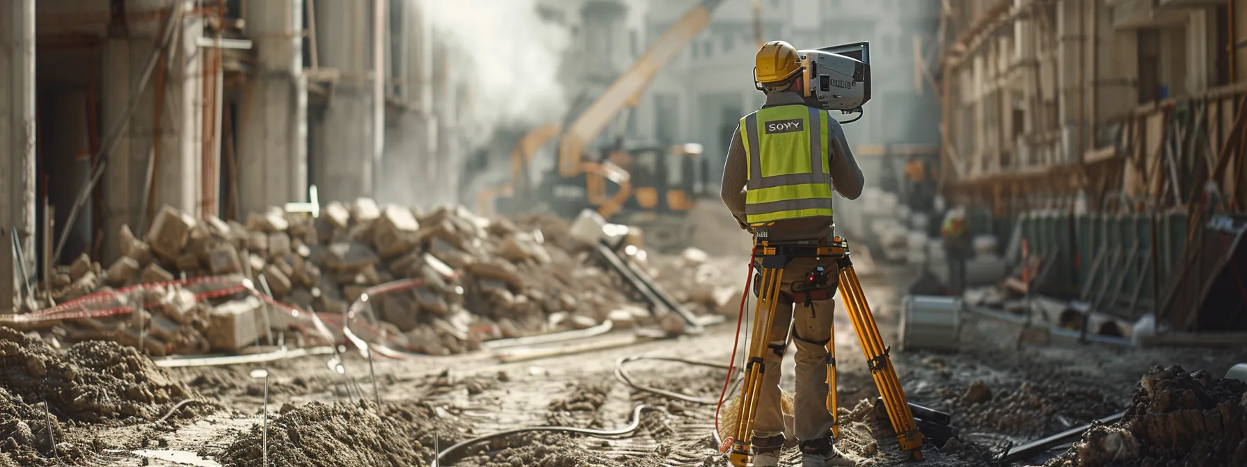
Advanced total station techniques enable surveyors to enhance their skills and efficiency. This section explores utilizing advanced features of Trimble Robotic Total Stations and integrating software like Leica Geosystems' solutions. These techniques improve surveying processes for concrete construction and geographic information systems, empowering users to tackle complex projects with confidence.
Utilizing Advanced Features and Functions
Surveyors can leverage advanced features of total stations to enhance their measurement capabilities. Modern instruments incorporate prism tracking technology, allowing for precise measurements in three dimensions. This functionality proves particularly valuable in complex construction projects where accuracy in every dimension is crucial.
Integration of space technology has revolutionized total station capabilities. Advanced models now utilize satellite positioning systems to provide absolute coordinates, enhancing the accuracy and efficiency of surveying operations. This fusion of terrestrial and space-based technologies offers surveyors unprecedented precision in their work.
Total stations equipped with advanced data processing features streamline workflow and improve productivity. These instruments can perform complex calculations on-site, enabling surveyors to analyze data and make informed decisions in real-time. The ability to process information quickly and accurately contributes to the overall tranquility and efficiency of surveying operations, particularly in challenging environments where electricity may be limited.
Integrating Software to Improve Surveying Efficiency
Integrating software with total station technology significantly enhances surveying efficiency and accuracy. Modern software solutions, such as those developed by Topcon, enable seamless data collection and processing, streamlining workflows for surveyors. These integrated systems allow for real-time data analysis and 3D modeling, providing surveyors with immediate insights into their project's progress.
Advanced software integration extends beyond basic data processing, incorporating features from diverse fields such as astrophysics to improve measurement precision. Surveyors can utilize sophisticated algorithms to account for atmospheric conditions and Earth's curvature, ensuring highly accurate measurements even across vast distances. This level of precision is particularly valuable in large-scale projects, such as those undertaken in South Korea's rapidly developing urban centers.
The integration of 3D modeling software with total station data collection has revolutionized project visualization and planning. Surveyors can now create detailed, interactive models of surveyed areas, allowing for better communication with clients and stakeholders. This advanced visualization capability proves especially useful in complex infrastructure projects, enabling surveyors to identify potential issues and optimize designs before construction begins.
